As per the U.S. Census (see: What Languages Do We Speak in the United States?):
“The number of people in the United States who spoke a language other than English at home nearly tripled from 23.1 million (about 1 in 10) in 1980 to 67.8 million (almost 1 in 5) in 2019, according to a recent U.S. Census Bureau report.”
Thanks to some interactive tools developed using data from the U.S. Census Bureau’s American Community Survey, it has never been easier to explore what languages are being spoken in different geographic areas of the United States. Below are some examples of some user-friendly, freely available tools that you may wish to check out.
Among the various data profiles, tables and maps, tools and visualization options, is the interactive People That Speak English Less Than “Very Well” in the United States Interactive Map that can be queried using state and county information.
This data is available because the U.S. Census asks “about whether a person speaks a language other than English at home, what language he/she speaks, and how well he/she speaks English to create statistics about language and the ability to speak English”.
For example, searching for New York and Nassau County shows where in that area people with Limited English Proficiency (LEP) may live:

2. Languages Spoken by People who have Limited English Ability
(Web Map by Urban Observatory by Esri)
This is another tool that “shows the predominant language(s) spoken by people who have limited English speaking ability” using ArcGIS to again visualize the “American Community Survey data from the US Census Bureau by state, county, and tract”. This map allows you to visualize the data about what languages are being spoken by LEP individuals living around a particular street address or place.
For example, searching for “1101 Hempstead Tpke, Uniondale, NY, 11553, USA” returns:

3. State Immigration Data Profiles
To get a better understanding of where foreign-born individuals are migrating from, their English proficiency and language spoken at home, the Migration Policy Institute also used U.S. Census data to create an interactive migration data hub tool that allows users to explore state immigration data profiles. You can click on the state of interest to view state-level “facts about immigrants to the U.S.”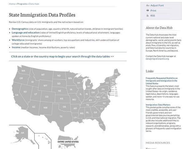
Questions? Ask Us at the MSK Library!